Ohio may soon be using unmanned aerial systems to communicate with smart vehicles and transportation infrastructure to monitor traffic and roadway conditions.
As drone numbers soar, DriveOhio’s UAS Center is investing $5.9 million for a three-year study on how to safely fit these aircraft into an already congested airspace. Led by The Ohio State University College of Engineering, the research will include both air and ground vehicles and will complement DriveOhio’s current initiatives in autonomous and connected vehicle testing.
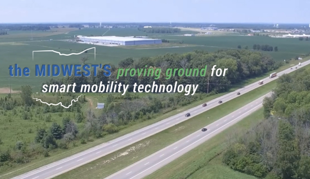
Low-altitude drones will monitor traffic and incident response along the U.S. 33 Smart Mobility Corridor, a 35-mile stretch between Dublin and East Liberty, in conjunction with the state’s current fixed-location traffic camera system. Sensors and communication equipment will feed UAS detection and tracking data to the Ohio Department of Transportation’s Traffic Management Center. The Unmanned Traffic Management (UTM) solution will enable ODOT to respond more rapidly and effectively to situations on the road.
The UTM system also will ensure the drones controlled by DriveOhio’s UAS Center will not collide with each other or with manned aircraft, such as small planes and helicopters that also use the lower altitude airspace. The Federal Aviation Administration (FAA) estimates 7 million UAS commercial and hobbyist purchases by 2020. These unmanned aircraft must also interface with the 5,000-manned aircraft that are in the sky at any given time.
“We’re excited to develop an unmanned traffic management system for Ohio, which will enable safe flight of drones and personal air vehicles beyond the line of sight of the operator,” said Ohio State Professor and Aerospace Research Center Director Jim Gregory. “Our collaborative work will pave the way for the ultimate vision of safe flight of UAS throughout Ohio and beyond.”
Current FAA drone regulations require that the operator maintain the unmanned aircraft within visual line of sight at an altitude of less than 400 feet and without flying over people. These logical restrictions significantly curtail the usefulness of the range of applications that industry, academia, and public entities such as ODOT can envision. Read more
Source: www.uasvision.com